What 'Do you have fire?' does?

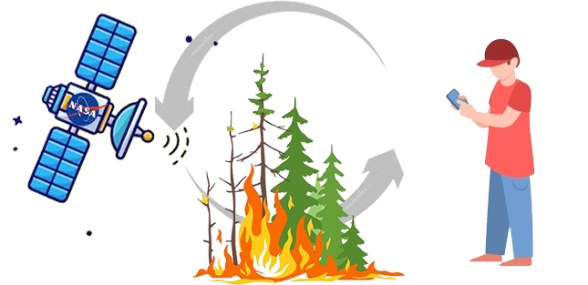
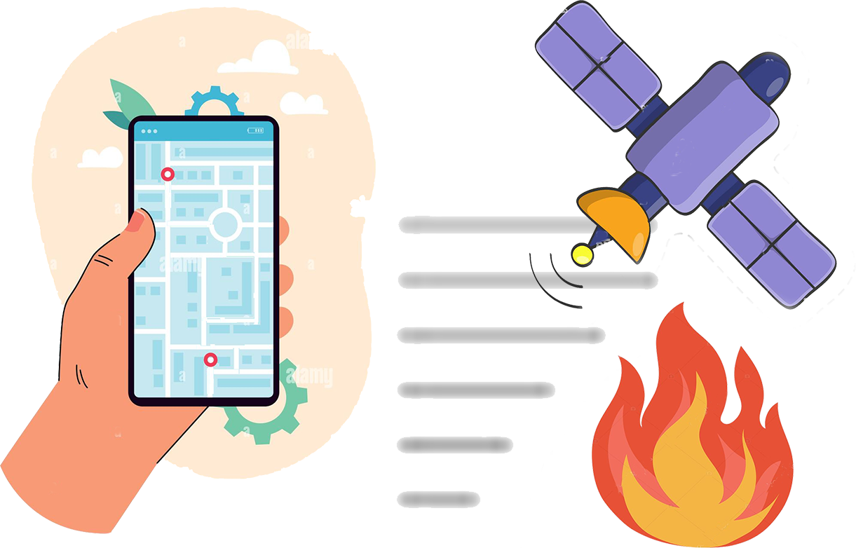
We work together with FIRMS (fire information for resource management system) a NASA system that monitors possible forest fires. The MODIS and VIIRS satellites are able to scan the earth's surface every 3 hours. From these scans, pixels are generated on the terrestrial map, which represent thermal anomalies (a point where temperature, brightness and other factors are considered abnormal and are related to a fire) determined by a series of algorithmically processed data. These appear as red squares where it is possible, to a greater or lesser extent, that a fire is taking place at the time of the scan.
How accurate is the platform?

The size of these fires varies between large, with areas of up to one kilometer or up to 50 meters under optimal conditions. The pixels only indicate a maximum area, the fire usually covers less land and is close to the center of the red box. There are several reasons why MODIS or VIIRS may not have detected a fire: it may have started and ended between satellite observations; cloud cover, dense smoke or tree canopies can completely obscure a fire; occasionally the instruments do not work and cannot observe anything during these moments.
Participate and collaborate

At 'Do you have fire?' you can leave comments on possible fire outbreaks. Satellites may be detecting an anomaly that actually corresponds to a normal situation. We propose that you, as a citizen or institution, corroborate these facts and details if they are fires or other type of event. Users can leave comments on the anomalies and others, the corroborated institutions, can also confirm or deny these comments. Thus, with the support of the population, it will be possible to map the situation close to each one and complement the NASA rigor information with local knowledge.


